
UCF and MIT's GeoVision Digital Twin Guides Disaster Robots Without GPS
A layered digital twin architecture unites visual geolocalization, adaptive navigation, and AI triage to keep medical robots effective when GPS and comms fail.
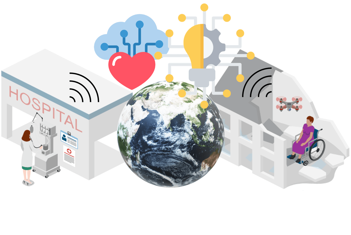
Takeaways
- New architecture paper unifies visual geolocalization, adaptive navigation, and AI triage under one medical digital twin.
- Central twin mirrors platform state, environment, patient vitals, and mission goals in real time for remote clinicians.
- System auto-switches between autonomous, assisted, and teleoperated modes when localization or comms degrade past thresholds.
- Healthcare Intelligence Module scores triage from vital signs, imaging, and environmental cues to reprioritize dispatch.
- Preliminary simulations report faster time-to-intervention for critical patients and lower mission failure in GPS-degraded runs.
- Position paper only, no code or weights released, and triage module lacks clinical benchmarking against baselines.
When a disaster knocks out cell towers and jams GPS, the drones and ground robots sent to help injured people tend to become expensive liabilities. A new architecture paper from researchers at the University of Central Florida and MIT Lincoln Laboratory proposes a way to keep those platforms useful by wrapping them in a geospatially aware digital twin that fuses visual localization, adaptive autonomy, and AI-driven triage into a single control loop.
The work, titled GeoVision-Enabled Digital Twin for Hybrid Autonomous-Teleoperated Medical Responses, argues that existing remote medical robots are too siloed to be trusted in real emergencies. Prehospital response in disaster zones already suffers from broken infrastructure, patchy communication, and thin situational awareness, and today's autonomous or teleoperated platforms rarely integrate patient-state intelligence with environmental context.
Why a control panel is not enough
A traditional ground control station shows an operator a video feed, a map, and telemetry. That works for flying a drone, but it says nothing about which patient is deteriorating fastest or which route has been blocked by rubble. The proposed digital twin instead gives remote clinicians and operators a continuously synchronized virtual model of the robot and its surroundings, meant to replace the dashboard as the primary interface.
Clinicians and operators steer a live model of the world rather than squinting at a set of gauges. AI-driven triage and risk prediction supply patient-centered prioritization, and prior work rarely couples these elements inside a single digital twin architecture for remote medical response.
Inside the layered stack
The system connects heterogeneous platforms such as UAVs and UGVs, communication links, and remote users through a central digital twin. That twin holds a synchronized representation of platform state, environmental conditions, and patient information, and it serves as the interface every human touches. The architecture is organized as horizontal layers.