
Toronto's 3DRO Makes Cheap Radar Beat Lidar Across 650km of Real Driving
A new odometry method extends 2D radar tracking into full 3D pose estimation, matching lidar accuracy across 643km of driving data with just a gyroscope assist.
 Pro
Takeaways
- 3DRO extends 2D Direct Radar Odometry to full SE(3) pose estimation using a 2D radar and gyroscope
- Achieves lidar-level accuracy across 643km of the Boreas-RT dataset in nine environments
- Beats Fast-LIO2 and MOLA lidar odometry on suburbs, regional, and tunnel routes
- Vertical velocity approximated as a single calibrated constant times the 2D velocity norm
- SE(3) integration adds under 1ms per scan, enabling real-time 4Hz operation
- Open source implementation at github.com/utiasASRL/dro
Radar is catching up to lidar for one of robotics' oldest problems: figuring out where you are and where you're heading. A team from the University of Toronto and ETH Zurich has released 3DRO, a method that squeezes full 6-degree-of-freedom pose estimation out of a cheap 2D spinning radar and a gyroscope, hitting accuracy on par with lidar-based systems across hundreds of kilometers of real driving data.
Spinning radar's flatland problem
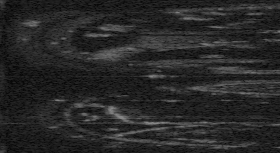
A 2D imaging radar uses a single rotating antenna to sweep a 360-degree horizontal field of view. Its 3D and 4D cousins produce point clouds with radial velocities across multiple elevations, but only over a limited azimuth. The spinning kind has one persistent weakness: no elevation information, which has confined it to SE(2) state estimation. Most pipelines treat the radar as if the world were pancake-flat, tracking only x, y, and yaw.
That assumption breaks the moment the ground tilts. Even on roads that look flat, ignoring elevation changes lets drift accumulate. There's a subtler issue too: if the sensor is bolted to the vehicle at a slight tilt, some of the true motion leaks into a vertical component the radar cannot see directly.
Approximating the missing axis
3DRO builds on DRO (Direct Radar Odometry), a recent method that skips the usual step of extracting point-cloud features and instead registers the full radar intensity image directly. DRO was the first continuous direct method to rigorously account for both motion and Doppler distortions, maximizing a continuous cross-correlation score between the current scan and a local map updated on the fly. The original version produces 2D velocity estimates in the radar plane.