
KTH's IM-SLAM Navigates Multi-Floor Buildings Without Cameras or GPS
Researchers at KTH and Linköping built an indoor SLAM system that navigates using only cheap magnetometers, an IMU, and a barometer, without any camera.
 Pro
Takeaways
- New IM-SLAM system from KTH does indoor SLAM without cameras, wheels, or LiDAR.
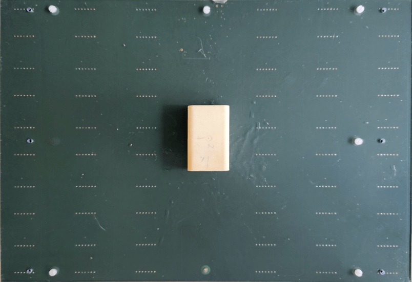
- Uses only a low-cost IMU, 30 magnetometers, and a barometer as sensors.
- Tightly coupled variant achieves errors of ~meters per 100m traveled indoors.
- Handles full 3D motion including multi-floor spiral staircases in experiments.
- IMU quality can degrade 32x with minimal impact on tightly coupled accuracy.
- Code and datasets available at github.com/Huang-Chuan/IM-SLAM for reproduction.
Indoor positioning without GPS usually means bolting a camera or LiDAR onto your robot and hoping the environment has enough visual texture to work with. A new paper from KTH Royal Institute of Technology and Linköping University shows you can skip the optics entirely and navigate a multi-floor building using nothing but the magnetic quirks of steel beams, rebar, and electrical wiring inside the walls.
The system, called IM-SLAM (Inertial Magnetic SLAM), lands final positioning errors on the order of meters per 100 meters traveled while running purely on a low-cost IMU, an array of 30 magnetometers, and a barometer. Both the code and the datasets are open source.
Why magnetic SLAM has been stuck
Buildings distort Earth's magnetic field in spatially unique ways because of all the ferromagnetic material in their structure. The field at each point in a corridor is effectively a fingerprint you can use to localize yourself, and cheap magnetometers already ship in every smartphone. The catch is that most previous magnetic field SLAM systems rely on low-drift odometry, such as wheel or visual odometry, to provide motion constraints, or they assume planar 2D motion. Take away the wheels or the camera and the position estimate drifts without bound.
The authors' earlier work, MAINS, a magnetic-field-aided inertial navigation system, uses a low-cost IMU and an array of 30 magnetometers to capture snapshots of the surrounding field. MAINS delivers low-drift dead reckoning but only maintains a local map, so errors still accumulate on long trajectories. IM-SLAM plugs that hole by adding a global magnetic field map that lets the system recognize places it has already visited.