
GM and Syracuse's MapATM Reads Traffic Flow to Map Roads 10% Better
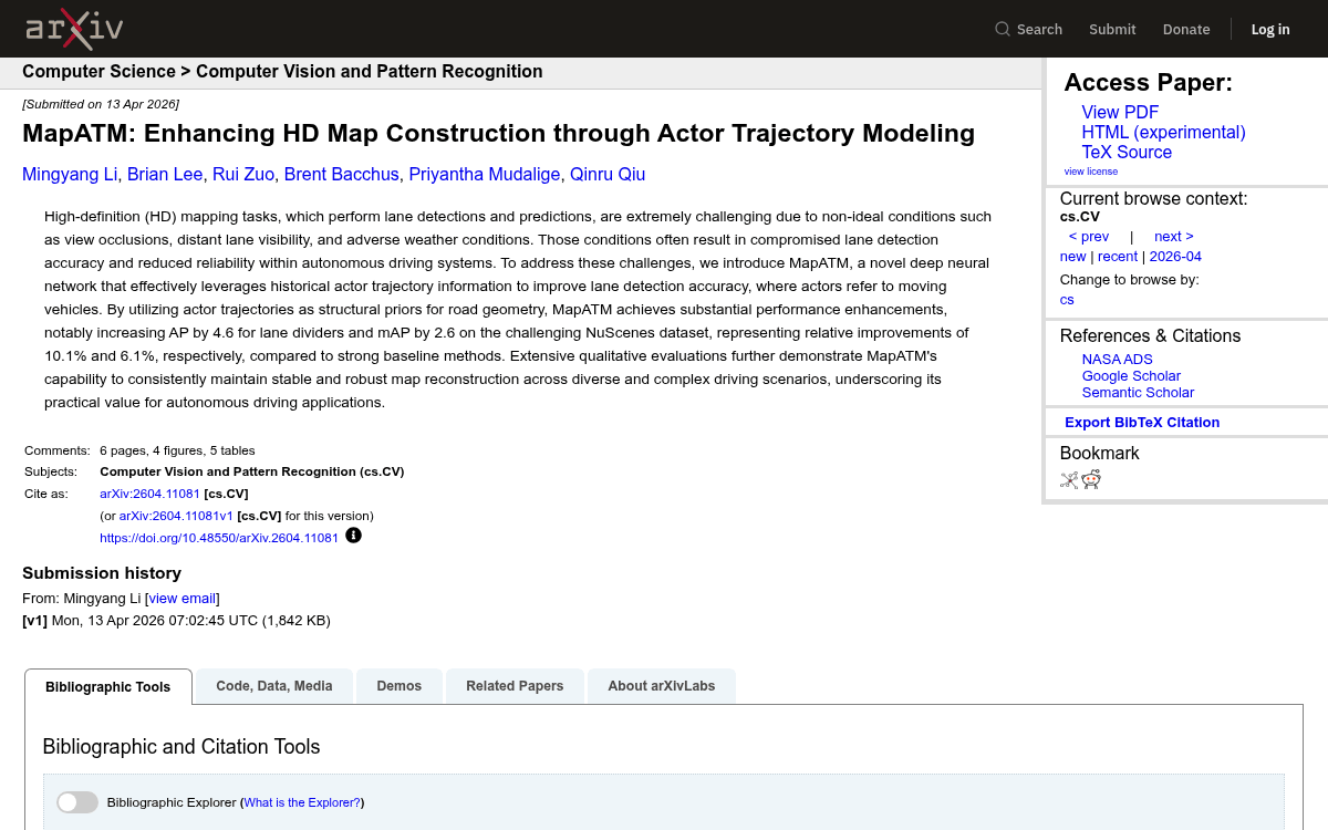
A new HD mapping model uses surrounding vehicle trajectories as structural priors, boosting lane divider precision by 10 percent on NuScenes.
 Pro
Takeaways
- MapATM feeds surrounding vehicle trajectories into HD map construction as structural priors for road geometry.
- Boosts lane divider AP by 4.6 and overall mAP by 2.6 on NuScenes versus VAD baseline.
- Trajectory branch uses a BEV rasterized trajectory image with learnable actor queries and deformable attention.
- Pretrains actor queries against virtual lane edges made by shifting trajectories perpendicular by half a lane width.
- In-fusion via deformable attention after the map decoder beats pre-fusion and layer-wise attention variants.
- Gains are concentrated on lane dividers, with no improvement on road boundaries and slight drops under total occlusion.
Building high-definition maps on the fly from car cameras looks easy on a sunny highway and falls apart everywhere else. Occlusions from trucks, faded paint on local streets, and rain-soaked lenses all conspire to blur the lane markings that downstream planners depend on. A team from Syracuse University and General Motors R&D is proposing a fix that sidesteps the visual problem entirely: watch how the other cars are driving, and let their paths reveal the lanes.
Their model, MapATM (Map with Actor Trajectory Modeling), treats historical actor trajectories as structural priors for road geometry. Vehicles almost always follow lane rules, so a few seconds of tracked motion carries direct evidence of centerlines, intersections, and drivable paths, information that pure camera-based mappers throw away.
Why cameras alone keep failing
Current online HD mapping stacks like MapTR, LaneSegNet, and StreamMapNet transform multi-view camera features into a Bird's-Eye-View (BEV) representation and then use query-based detectors to pull out map elements. End-to-end driving systems such as UniAD and VAD extend this to jointly detect vehicles and map elements. These methods primarily rely on visual information for detecting map elements, often neglecting the rich spatial-temporal context that actors can provide, so accuracy craters the moment line of sight is blocked.
Fusing LiDAR frames pixel-by-pixel with camera features works but is expensive. MapTRv2 fuses LiDAR and image information into BEV representations at the cost of significantly reduced inference speed, thanks to the computational burden of extracting features from large-scale point clouds. MapATM sits somewhere in between by fusing high-level trajectory cues rather than raw sensor streams.